 |
GPS orienteering with UsynligO |
UsynligO (pronounced "oo-seen-lee-o") is the Norwegian equivalent of MapRun. It means 'invisible O' and is widely used across much of Europe, especially Scandinavia, and in the USA. Like MapRun, it tracks and times you by phone GPS.
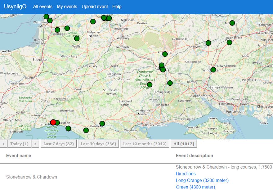
Over 4000 events are published on the UsynligO website. The All events tab shows a map of what's available. Click on an event to see available courses.
Click your preferred course to download a printable pdf map. You can also view the map on your phone screen while you're doing the course. It's up to you.
Running a course
You need to install the UsynligO app on your smartphone. It can be downloaded from Google Play or the Apple App Store.
If you're familiar with MapRun you will find it very similar. A how-to guide provided by BOK is here. In brief:
- Register and Login
- Tap UsynligO Events
- Find the event location
- Select the course you
want to do.
Then tap the cog wheel top right. The default control radius is 15m which should be OK in open terrain but GPS signals can be patchy. 20m is safer and 25m is advisable in forest areas.
The app gives lots of audio cues: countdown bleeps to start, a tune when you find each control, a different tune if it's the wrong control, and a fanfare to celebrate the finish! With a 15-20m radius, controls often register on approach - the distance depends on quality of satellite reception at that time & place.
WIM offers UsynligO courses at Thorncombe Wood, Stonebarrow Hill and Langdon Hill & Golden Cap.
Recent courses have been created at Hive Beach, Burton Bradstock, in co-operation with the National Trust. They are
Hive Beach West - Short
Hive Beach West - Long
Burton Bradstock East - Loop 1
Burton Bradstock East - Loop 2
Planning a course
UsynligO requires an accurate georeferenced map and it's recommended to use Purple Pen for course planning. Any course which can be planned with Purple Pen is acceptable so, for example, you are not tied to particular Score formats.
It is wise to visually check control locations on Google Earth or Google Maps, perhaps by opening a screenshot jpg as a background map in Ocad. After all, 1mm variation on a 1:10,000 map is 10m on the ground!
When the courses have been planned, you create a Data Interchange File in IOF XML version 3.0 format. That may sound complex but is in fact simple - it's a Purple Pen file menu option. The xml file contains all the data UsynligO needs.
Uploading to the UsynligO website is straightforward. You're asked for brief items of info plus the xml file and the course map(s) in pdf format. You can create the pdfs with Purple Pen but you don't have to. You might prefer your own pdfs created with Ocad or OOM.
Mike Kite
In case of comments or queries, email Mike Kite mike.kite@hotmail.co.uk
Feedback is also useful!